
Historic Preservation & Adaptive Reuse
Since the very introduction of laser scanners in the 90s/ 2000s Historic preservation has been a used to map, analyze, document, and to replicate historic structures. Single buildings, even entire towns have had buildings scanned to prevent loss of historic structures. Architects and engineers can check walls for plumb, floors for level and structural components for sagging or any other deformation. Since most old buildings don’t have any drawings, let alone 3D models, point clouds are the way to recreate elevations floor-plans and sections of your building.
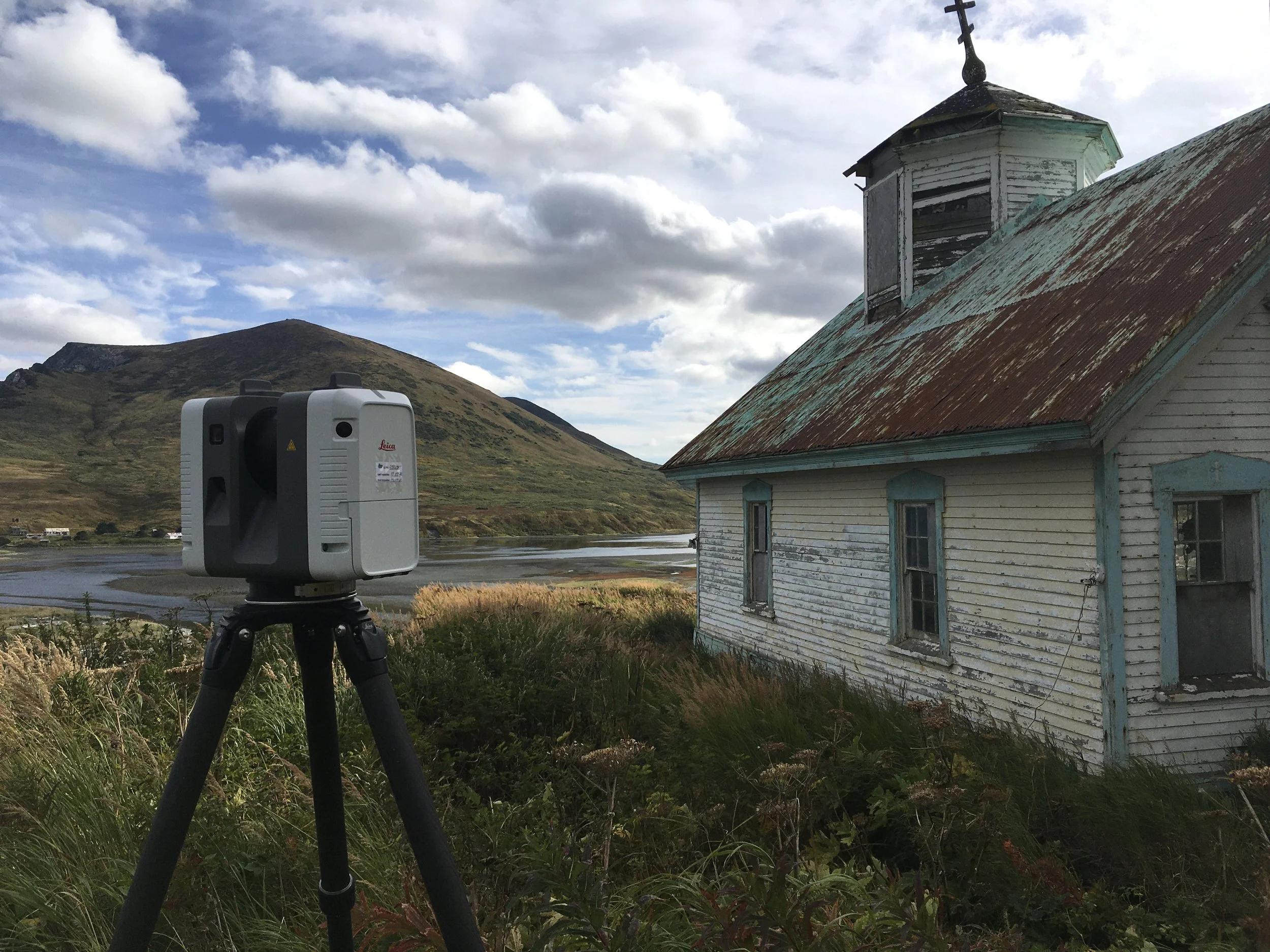
The images on this page are of a 150 year old Russian Orthodox Church located in Karluk, Alaska. Coastal erosion threatened the structure and the building had to be moved. Laser scanning was used with photography to to create a point cloud of the building and existing conditions. Revit models were created and a digital twin existed before the building was eventually moved.
A year later a spring storm caused a land slide where the Church once stood.
See the Portfolio page for more info on the May Hosiery Buildings in Nashville Tennessee. See how three buildings were renovated and are now in use in a new trendy neighborhood.